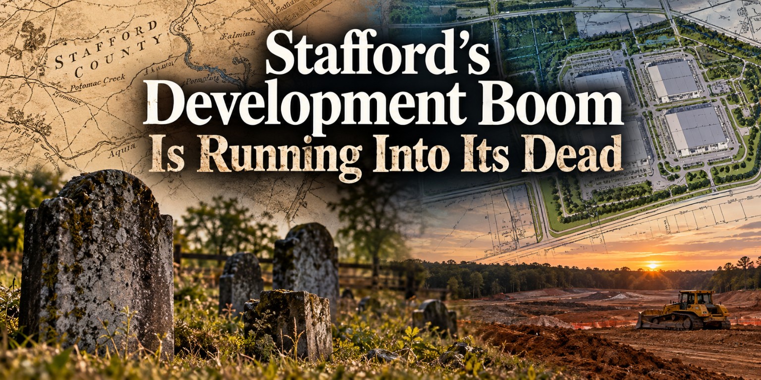
Stafford County’s development boom is colliding with something that has been here much longer.
The dead.
Across Stafford, land that remained farms, forests and large rural properties for generations is being surveyed and prepared for new uses.
Engineers map wetlands. Surveyors establish property lines. Transportation planners determine where new roads and entrances will go. Developers determine where buildings can be constructed.
But occasionally those investigations reveal something else.
People are already there.
Some properties contain old family cemeteries with recognizable headstones. Others contain burial grounds where most of the markers have disappeared. And some contain unmarked graves that might be almost invisible to someone walking across the property today.
That issue is now appearing in Stafford’s development review process.
One proposed data center property contains what Stafford County’s historic reviewer describes as “18 or more unmarked slave burials.” Another property may hold approximately 25 people even though only two grave markers remained visible when it was surveyed in 2010.
Other current projects, including Simms Farm, have generated cemetery related review as Stafford determines how historic burial grounds fit into modern development.
These cases raise a question Stafford will probably confront more frequently as its remaining rural land is developed:
What happens when Stafford’s future runs directly into its past?
18 or More Unmarked Burials at a Proposed Data Center
Perhaps the most striking example can be found in Stafford’s review of the proposed Potomac Creek Data Center.
Buried among the normal technical comments associated with development review is an extraordinary statement from Stafford County’s historic reviewer:
“There are known burials, including 18 or more unmarked slave burials.”
The County further stated that authority to remove the burials had not been obtained and Stafford’s cemetery ordinance therefore remained applicable to the property.
That distinction is important. These are not simply suspected archaeological resources mentioned in an old history book. Stafford’s current development review record describes them as known burials. And they are unmarked.
How Can 18 Graves Almost Disappear?
A grave does not necessarily have a granite monument bearing someone’s name.
Older rural cemeteries can lose markers through deterioration, farming, vegetation, land disturbance and the passage of generations. The problem can be even more pronounced with burial grounds associated with enslaved people. A permanent inscribed stone may never have existed.
That means a field or wooded area that appears empty today can contain a cemetery that predates the surrounding roads, subdivisions and modern property boundaries.
Stafford’s Potomac Creek review provides a modern example of why those sites matter. Before the property can simply be treated like empty developable land, the burials have to be addressed under applicable County and state requirements.
Virginia places additional protection on unmarked human burials. State law makes it unlawful to conduct an archaeological investigation involving removal of human skeletal remains or associated artifacts from an unmarked burial without a permit from the Director of the Virginia Department of Historic Resources.
Another Stafford Cemetery May Contain About 25 People
The Potomac Creek site is not an isolated example.
A different Stafford development review provides an unusually detailed account of what can happen to an old family cemetery over generations. It is called the Guy-Masters-Jones Cemetery.
Stafford County’s development records say the Stafford County Cemetery Committee surveyed the cemetery in 2010. Based on information provided by then property owner Viola Gordon Stevens, the survey indicated approximately 25 burials.
But there was a problem. Only two stones remained visible. One of the surviving stones identified Maurice Jones.
County records also say the cemetery appeared to have been “greatly compromised by farming activity.”
Think about what that means. Approximately 25 people may have been buried there. Yet someone walking the property in 2010 might have seen only two remaining stones. Without historical records and cemetery research, much of the burial ground could easily be overlooked.
Stafford Required the Cemetery to Be Protected
The County did not simply identify the Guy-Masters-Jones Cemetery and move on.
Historic reviewers required the cemetery to be fully delineated. Once its actual boundaries were established, Stafford required a 35 foot buffer around the perimeter.
The County’s review also called for:
- Fencing at the buffer line
- Signage identifying the family cemetery
- An easement providing public access
- Access from a public throughway
This illustrates something most Stafford residents may never see. A development plan is not always just about determining where buildings and roads go. Sometimes planners must determine where they cannot go.
Why Delineation Matters
Imagine finding three headstones in the corner of a 100 acre property. It might be tempting to draw a box around those three stones and call that the cemetery.
But those stones may represent only the graves that remain visible. There could be additional unmarked burials surrounding them. That is why determining the boundaries of an old cemetery can become an important part of development review.
The Guy-Masters-Jones case demonstrates the problem clearly. The County’s records describe approximately 25 burials but only two visible stones when the Cemetery Committee conducted its survey. The headstones were not necessarily the cemetery boundary. They were clues to a larger burial ground.
Simms Farm Has Raised the Same Kind of Question
The cemetery issue has also surfaced during review of Simms Farm, another significant Stafford development proposal. The issue has reached Stafford’s historical review process as officials consider cemetery delineation associated with the property.
That does not mean Simms Farm presents the same circumstances as Potomac Creek. The cases should not be conflated.
Potomac Creek’s County review specifically documents at least 18 unmarked burials of enslaved people. The Guy-Masters-Jones records specifically document the Cemetery Committee’s estimate of approximately 25 burials. Each cemetery has its own history and must be evaluated independently.
But taken together, the cases reveal a larger issue Stafford is encountering as development reaches properties that remained rural for generations.
Can a Developer Move a Cemetery?
Under certain circumstances, yes. But owning the property does not mean someone can simply remove an old family cemetery and begin construction.
Virginia has a specific legal process governing previously unidentified and abandoned family graveyards. Under Virginia Code § 57-38.1, when the statutory requirements apply, a landowner can petition the circuit court seeking permission to relocate remains from a previously unidentified or abandoned family graveyard.
One important condition is that no body can have been interred there during the preceding 25 years. Filing the case does not guarantee permission.
Virginia Requires an Attempt to Find the People Connected to the Cemetery
When interested parties are unknown, Virginia law requires the petitioner to undertake active, good faith efforts to locate them.
The law specifies measures including notice in a local newspaper, notice posted at the graveyard itself, and consultation with historic preservation organizations and historical and genealogical societies. The statute also encourages internet and social media notice and consultation with the Virginia Department of Historic Resources.
Then a judge considers whether removal should be allowed. Virginia law specifically directs the court to consider the historical significance of the graveyard and the wishes of interested parties brought to the court’s attention.
If relocation is authorized, the petitioner bears the expense of properly removing and reinterring the remains. There is also a separate provision allowing an heir or descendant to petition a court seeking relocation of an ancestor’s remains from certain previously unidentified or abandoned family graveyards.
Development does not automatically win because someone owns the land. A cemetery creates legal and historical interests that extend beyond ordinary property ownership.
Unmarked Graves Have Additional Protection
Virginia’s Antiquities Act states that archaeological excavation involving human skeletal remains or associated artifacts from an unmarked human burial requires a permit from the Director of the Virginia Department of Historic Resources.
That applies regardless of the age of the archaeological site or ownership of the property. A cemetery does not cease to exist simply because its markers disappeared.
Development Can Threaten History. It Can Also Rediscover It.
There is an unexpected side to all of this.
Development can threaten historic landscapes. But development review can also force forgotten history back into the public record.
Before hundreds of acres are transformed, someone has to study the property. Old records are examined. Surveys are conducted. Historic resources are reviewed. Cemeteries are identified.
And sometimes people who disappeared from Stafford’s visible landscape generations ago suddenly appear again in government records.
Consider the Guy-Masters-Jones Cemetery. If the County’s records are correct, approximately 25 people may be buried there. By 2010, only two stones remained visible.
Or consider the Potomac Creek property. Stafford’s current review does not merely say that something historic might exist there. It specifically identifies 18 or more unmarked burials of enslaved people and says authority for their removal had not been obtained as of the County’s review.
Those people are now part of a 21st century land development proceeding.
The Names We Do Not Know
Perhaps the most important part of this story is what the records do not immediately tell us.
Who are the people buried there?
For the Guy-Masters-Jones Cemetery, at least one surviving stone gave Stafford researchers a name: Maurice Jones.
For the unmarked burials identified at the Potomac Creek property, the County’s public review comment does not identify 18 individual names.
That leaves a historical investigation still to be done. Who owned the property when those individuals were alive? Which families lived there? Do estate inventories, wills, tax records, census records, deeds or other historical documents preserve their names? Are descendants still living in Stafford or elsewhere? Can the identities of any of the people buried there be recovered?
Those questions are separate from whether development should or should not occur. They are questions about whether Stafford can preserve the history of people whose physical graves may no longer bear their names.
Stafford Is Building on Very Old Ground
Stafford is more than 350 years old.
Long before today’s subdivisions, shopping centers and data centers, generations of families lived and died on this land. Modern parcel boundaries came later. Modern zoning came later. Many of Stafford’s roads came later.
The people buried on these properties did not know that the farms surrounding them would someday become valuable development sites. Yet centuries later, decisions about those properties now have to account for their presence.
The Guy-Masters-Jones Cemetery shows how dramatically a burial ground can fade from the visible landscape. The Potomac Creek review shows how unmarked graves can suddenly become part of a modern development proceeding. Simms Farm shows that cemetery questions continue to surface as Stafford’s remaining large properties are examined for development.
None of this means Stafford should stop developing wherever an old cemetery exists. Nor does the existence of a cemetery automatically determine what should happen to an entire property.
But it does mean that growth carries a responsibility that does not appear on a tax revenue projection or economic development presentation.
Someone has to remember who was there first.
Because Stafford’s development boom is not occurring on empty land. It is occurring on land where generations of Stafford residents lived, worked, raised families and were buried.
Some still have stones marking where they rest. Others have only historical records. And some may have neither.
As Stafford continues digging into its future, it is increasingly running into its past.
Sources, documents & image credits
Read the original record
Stafford County land development application recordsPotomac Creek, Guy-Masters-Jones and related historic review records reviewed September 24, 2026 · Open original source ↗Stafford County Simms Farm rezoning applicationCounty application and historic review record · Open original source ↗Virginia Code § 57-38.1Court process for certain abandoned family graveyards · Open original source ↗Virginia Code § 10.1-2305Permit requirement involving unmarked human burials · Open original source ↗Virginia Department of Historic Resources: Human Remains and BurialsState guidance on burial protections and permits · Open original source ↗Support Save Stafford
Independent local information. No paywalls. No advertising.Research like this takes time and sometimes requires obtaining public records. Community support helps Save Stafford continue making this information freely available.
No subscription required. Contribute only if you choose. Financial contributions do not purchase editorial influence.